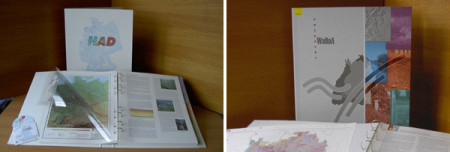
Maps and Atlasses
Decisions rely on information. Data stored in different monitoring programs are transferred to reliable information through elaborate data processing, expert analysis and adequate presentation -
„One Picture is Worth Ten Thousand Words“.
We process your data and prepare them for all sort of presentation, for example as elaborated maps, plans and brochures, for publication in the web as well as digital presentations.
Our professional expertise and the digital cartographical perfectness grant an high end editing:
- conception on data analysis and presentation
- expert coordination and editorial office
- GIS data preparation, analysis and map compilation
- high end cartography and text layout
- prepress preparation
References

Hydrological Atlas of Germany (in cooperation with the Institute of Hydrology at the University of Freiburg)

Water and Soil Atlas of the Federal State of Baden-Württemberg (in cooperation with the Institute of Hydrology at the University of Freiburg)